
The Navy Basin and MRF -1969-
A Tour of Dong Tam
by Robert Fisher
![]()
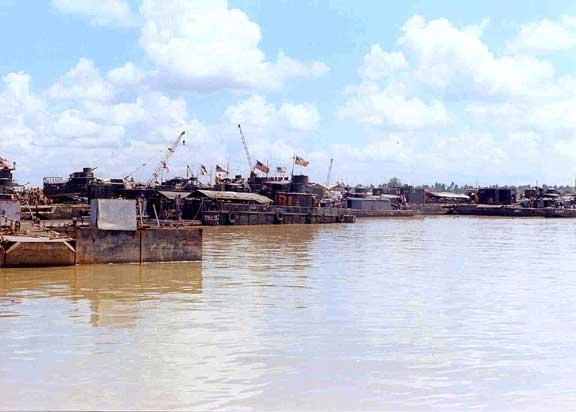
1 - View of the east end of the Basin. Looking
SW. 7/69
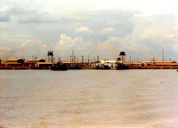
2 - North bank of the Basin. Harbor Master tower at the west foot of the water
tower. Looking NE. 7/69
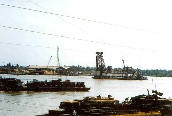
3 - The west end of the Basin. Possibly a pile driver and lighterage hoist in
view. Looking SW. 3/69
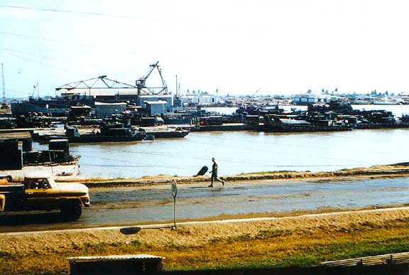
4 - East end of the Basin. Looking south. 2/69
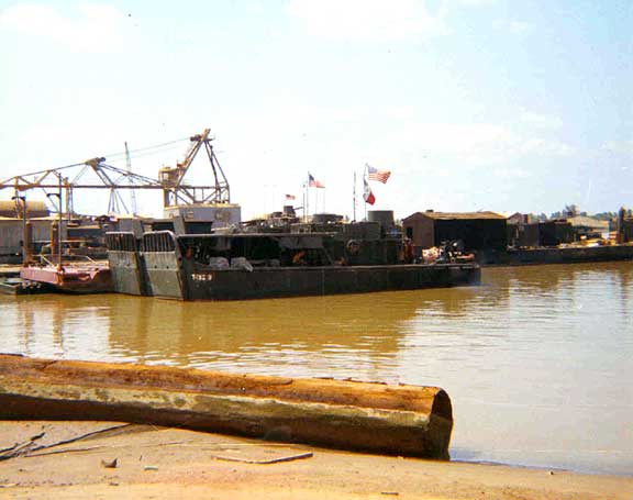
1 - Armored Troop Carrier (ATC) with helicopter
pad. Looking SW. 3/69
2 - North bank of the Basin further west from photo 2 above. Two of the three
Dong Tam communications/radar towers are in view. Looking N. 7/69
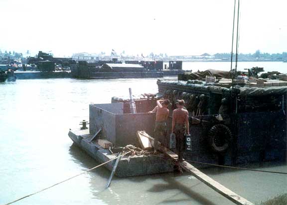
3 - The north bank of the Basin showing barges of the "Four Deuces Mortar
Platoon." Each barge housed two M-30, 4.2 inch mortar tubes - hence the
designation "Four Deuces" - and their 3/60th (Mobile Riverine Force)
crews. Looking W. 4/69
4 - One tube of the Four Deuces Mortar Platoon. The 3/60th infantry crews had to
walk the plank to get to their tube. Looking W. 4/69
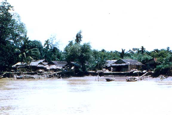
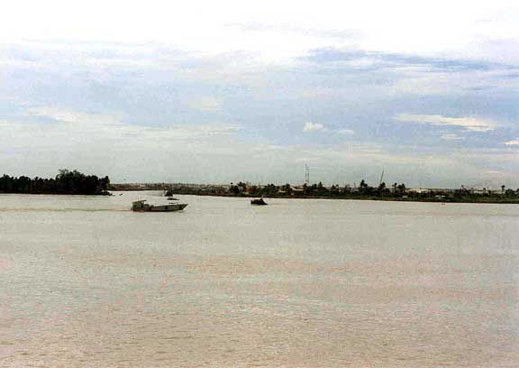
1 - Village along the west bank of the Kinh
Xang (canal) and the Bain inlet. Looking W. 7/69
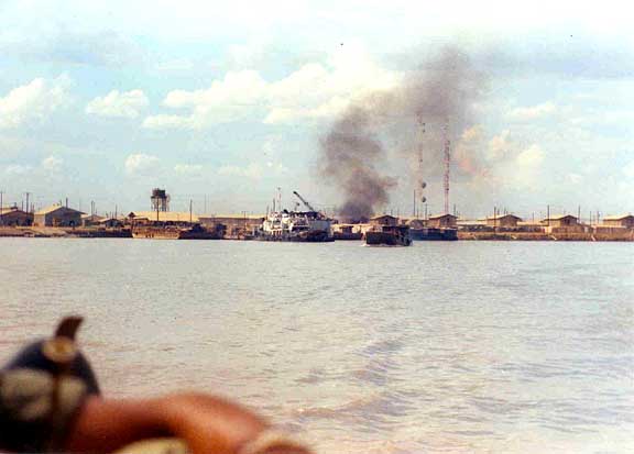
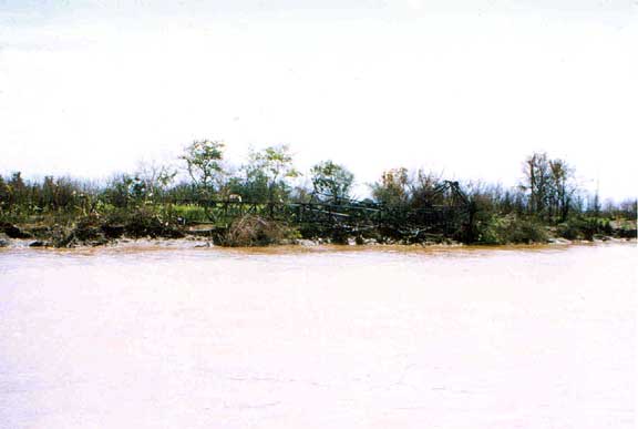
2 - Unidentified wreckage along the west bank of the Kinh Xang near the Basin
inlet. Looking W. 7/69
3 - The Basin looking west. 3/27/69
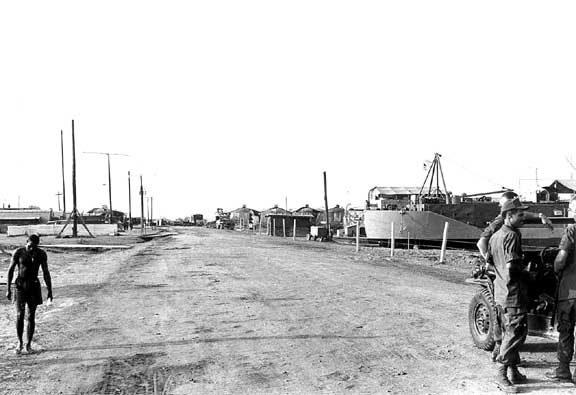
4 - A view down the street that ran parallel to the east bank of the Basin.
Looking S. 3/27/69
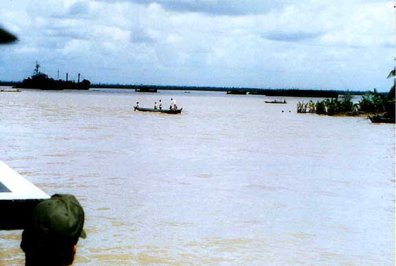
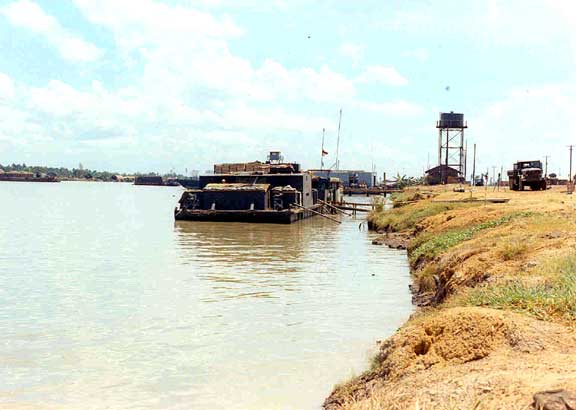
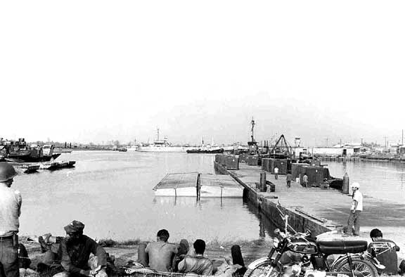
1 - Dong Tam inlet at the junction of the Kinh
Xang and the Song My Tho. Looking SW. 5/69
2 - On the Song My Tho west of the inlet. Looking NW. 7/69
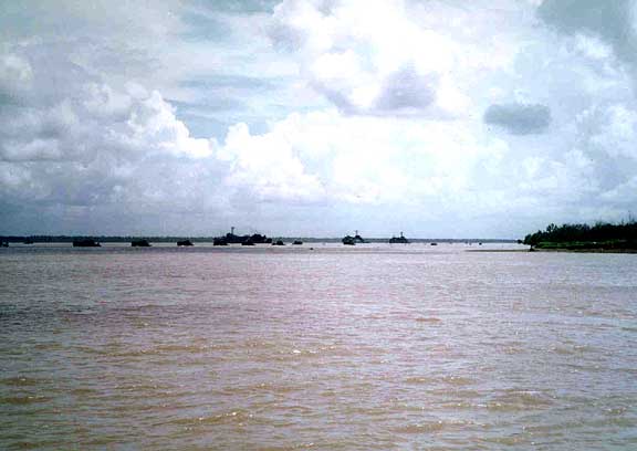
3 - The Mobile Riverine Force at anchorage in the Song My Tho near the Kinh Xang/Dong
Tam inlet juncture. Looking SW. 7/69
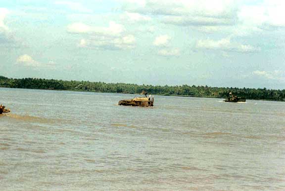
4 - The mouth of the Dong Tam inlet (juncture of the Kinh Xang and Song My Tho)
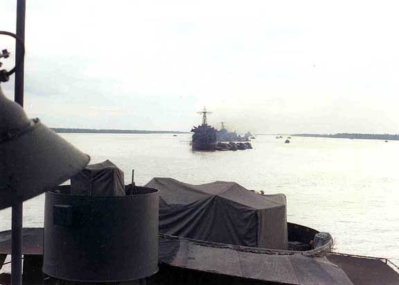
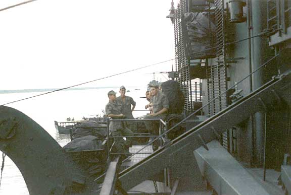
1 - Photo of MRF ships at anchorage on the
Song My Tho taken from the USS Benewah. Looking W. 7/69
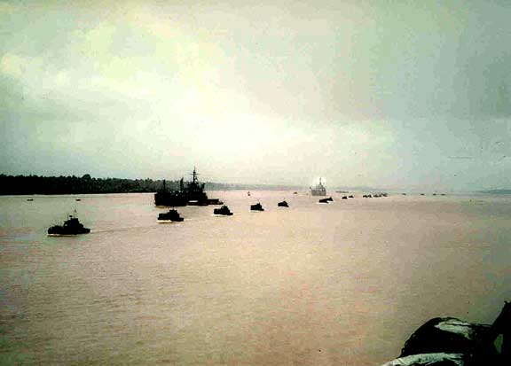
2 - Pass In Review. Perhaps the last time the MRF was fully functional. 7/5/69?
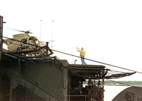
3 - One of four Command and Control (C & C) helicopters assigned to the MRF,
landing on the USS Benewah.
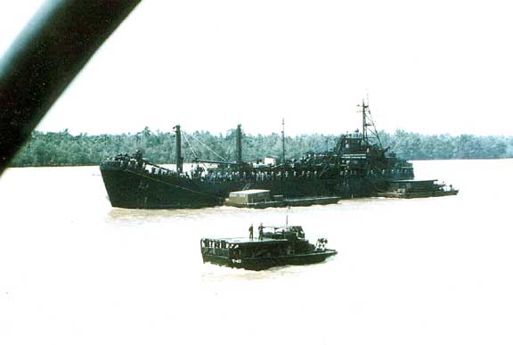
4 - Maintenance ship assigned to the MRF.7/69
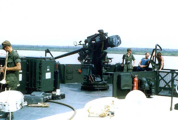
1 - Some of the 9th ID Band aboard the USS
Mercer. 5/69
2 - The USS Mercer. 5/69
![]()
Return to Dong Tam